Maps for Climate: Chicago Region Trees Initiative
February 20, 2025
11:00 AM - 12:30 PM
Location
IDEA Commons
Address
Richard J. Daley Library, 801 S. Morgan St, Chicago, IL 60607
Calendar
Download iCal File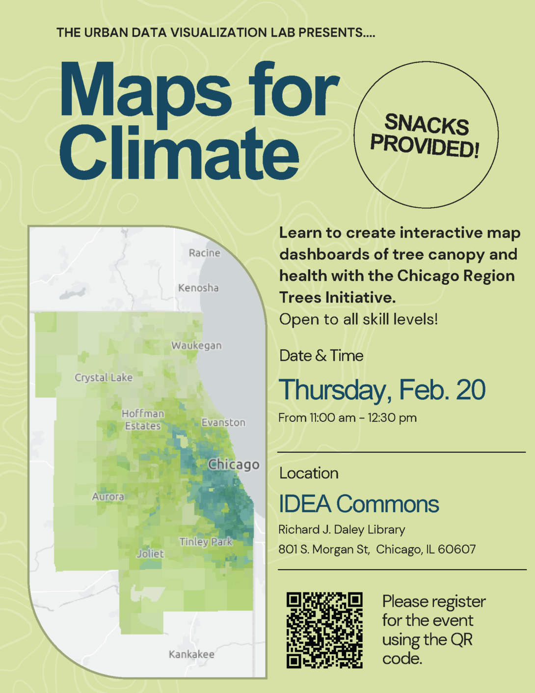
Join UDVL and the Chicago Region Trees Initiative for a workshop on interactive map dashboards! We will explore data related to our region’s tree canopy and health statistics, and learn the fundamentals of creating an interactive dashboard using ArcGIS Online.
Open to anyone at UIC interested in learning about online GIS resources. No prior GIS knowledge needed! The space will have computers with all of the mapping resources that you will need.
This workshop is an opportunity to:
· Learn about applied GIS in environmental planning
· Explore spatial datasets in our region
· Connect with peers interested in spatial data, cartography, and GIS
We'll have snacks; please RSVP here!
Date posted
Feb 6, 2025
Date updated
Feb 6, 2025