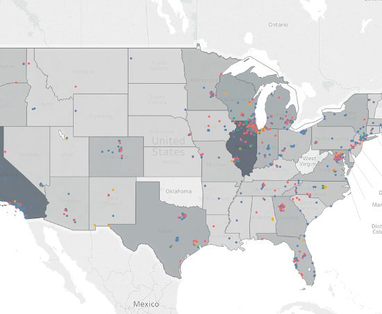
Census 2020 Map The Count
Ongoing collaboration with the Illinois Department Human Services until December 2020. UDVL team simulates models and designs and implements a web-based tool which enables Census 2020 Regional Intermediaries to assess how their engagement activities could change the 2020 Response Rate.
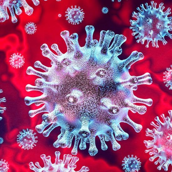
COVID-19 Vulnerability Maps
Collaborative research on IL COVID-19 Vulnerability maps showing the populations most affected by the disease and most vulnerable to the economic impacts of it and maps explaining the National COVID-19 Vulnerability Index (C19VI).
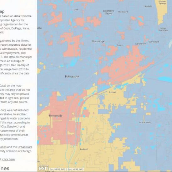
Track Your Water Tab - Web tool
UDVL and CityXones collaboratively developed an interactive map which allows citizens to track the source, price, users, and other information about their tab water.
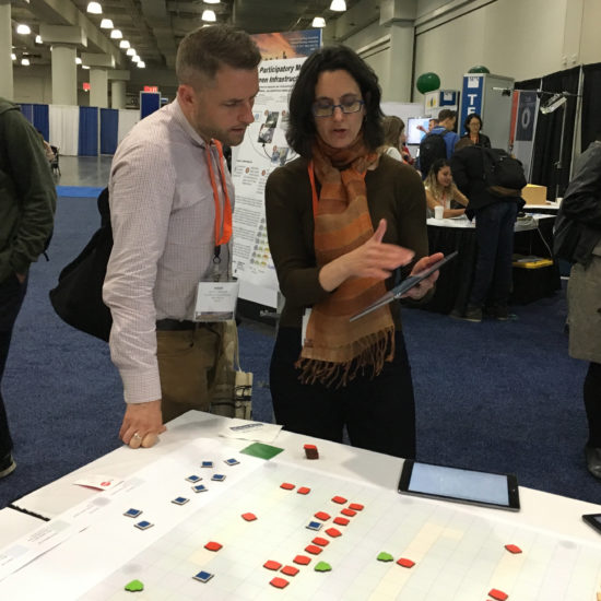
Participatory Modeling and Planning for Water Sustainability
UDVL created a modeling process where participants can explore various strategies for flooding.
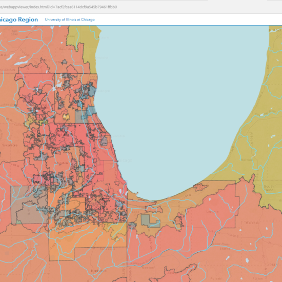
Water Planning in the Greater Chicago Region
This tool makes it possible for planners of all types to access water-related plans in the greater Chicago region based on location, geography type, or subject area.
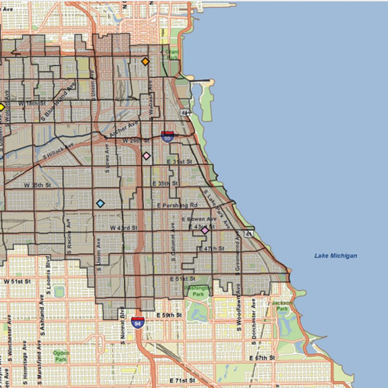
Chicago Ward Redrawing Game
UDVL created the Chicago Ward Map Redrawing Game to engage young people in understanding the relationship of the decennial census and redistricting process to political representation and the guidelines of the Voting Rights Act.
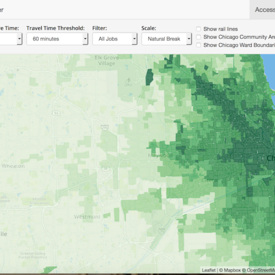
Metropolitan Chicago Accessibility Explorer
This site gives you the ability to look at the number of jobs, parks, schools, groceries and other opportunities which can be reached from different neighborhoods in the city of Chicago or broader metro area.
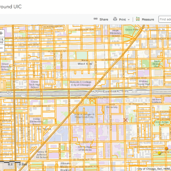
Pedestrian Paths Network around UIC
This project involved developing an automated approach to creating GIS sidewalk files, and creating a model that could be used for modeling pedestrian routes along sidewalks and paths.
CUPPA Alumni Mapping Project
This site gives you the ability to look at the spatial distribution of domestic students by origin at the time of application, over the history of the College of Urban Planning and Public Affairs at UIC.