Geospatial Analysis and Visualization Courses for Spring 2020, Open for Registration
Geospatial Analysis and Visualization Courses for Spring 2020, Open for Registration
The Urban Data Visualization Lab is offering several courses for Spring 2020 focusing on geospatial analysis and visualization, as part of graduate certificate and undergraduate minor in the Department of Urban Planning and Policy. The courses include:
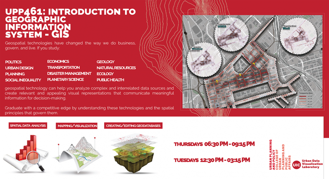
UPP 461. Geographic Information Systems for Planning and Policy. 3 or 4 hours: Applications of Geographic Information Systems to understanding spatial relationships for their importance in planning use and policy making across a variety of disciplines/policy sectors. Course Information: Same as GEOG 469. 3 undergraduate hours. 4 graduate hours. Prerequisite(s): Junior standing or above; and consent of the instructor. Priority registration will be given to students admitted to a campus certificate program in Geospatial Analysis and Visualization.
UPP 458. Introduction to Geospatial Analysis and Visualization I. 2 hours: A basic introduction to the software used and rules governing effective communication of geospatial and other data in visual format. Course Information: Extensive computer use required. Meets eight weeks of the semester. Credit is not given for UPP 458 if the student has credit in UPP 460. Prerequisite(s): Graduate standing.
UPP 459. Introduction to Geospatial Analysis and Visualization II. 2 hours: In-depth instruction in software used and rules governing effective communication of geospatial and other data in visual format. Exploration of design principles for communicating complex information in a variety of formats. Course Information: Credit is not given for UPP 459 if the student has credit in UPP 460. Extensive computer use required. Meets eight weeks of the semester. Prerequisite(s): Grade of B or better in UPP 458; and senior standing or above; or consent of the instructor.
&
US 361: Introduction to GIS Techniques II: Geographic Information Systems (GIS) adds spatial analysis and communication to the critical thinking toolbox. This course, the first in a two semester sequence, introduces students to basic GIS data concepts and map making techniques. Course Information: Extensive computer use required. Students must have access to a PC on which they can install software, and meeting the system requirements detailed on the ESRI website at: http://www.esri.com/software/arcgis/arcgis-for-desktop/system-requirements. Prerequisite(s): Sophomore standing or above. Recommended background: Grade of C or better or concurrent registration in US 100 or Grade of C or better in GEOG 175.
>>> For further information, contact Katie Boom Tallen on kboom@uic.edu <<<