Software Download: L-GrID Package
What is L-GrID? Heading link
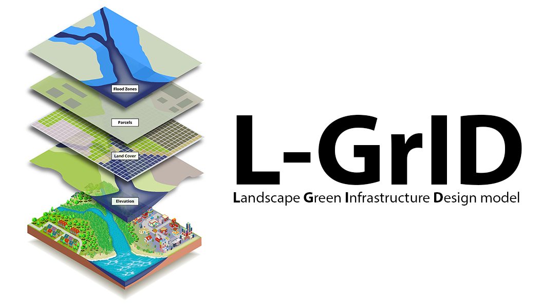
The Landscape Green Infrastructure Design model is a spatially explicit, process-based model that allows for the development and exploration of green infrastructure placement scenarios, and how they can mitigate urban flooding at different scales. The model can be adapted to a variety of different landscape, environmental, and storm conditions. Default parameters are for the Chicago region. The software includes four customizable types of green infrastructure: bioswales (rain gardens), permeable pavers, green roofs, and rain barrels.
The L-GrID model runs in NetLogo v. 6.1.0, a freely available software that may be downloaded from: https://ccl.northwestern.edu/netlogo/. For a guide on how to use and customize the model, click on the “Info” tab once you open the L-GrID_ v1.nlogo file.
A full description of the model’s underlying processes, including those for surface flow and infiltration, can be found in the paper below. Please note that the version available for download on this site is an extension of the version described in the paper.
Zellner, M.; Massey, D.; Minor, E.; Gonzalez-Meler, M.; 2016. “Exploring the Effects of Green Infrastructure Placement on Neighborhood-Level Flooding via Spatially Explicit Simulations.” Computers, Environment and Urban Systems 59(2016): 116-128.
Users need to fill out the agreement form to access the model electronically.
L-GrID Agreement Form Heading link
Please read the UIC L-GrID Non-exclusive license agreement and then fill out and submit this form.