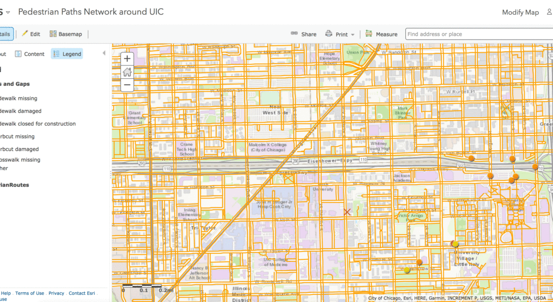
Pedestrian Paths Network around UIC

Introduction
Project title:
Pedestrian Paths Network around UIC
Principal Investigator:
Yochai Eisenberg
Graduate students:
GIS Studio Class 2017
External partners:
Chicago Department of Transportation
Project summary:
The GIS studio class developed an automated approach to creating GIS sidewalk files and creating a model that could be used for modeling pedestrian routes along sidewalks and paths. This pilot allowed users to add/edit/update point and line files through their desktop or mobile applications.
This type of data and model could be used to (1) more accurately model pedestrian pathways; (2) collecty data for each sidewalk; (3) easily map data, and (4) model potential routes and distances.